Ghaziabad city India


Ghaziabad city India
Information about the city :
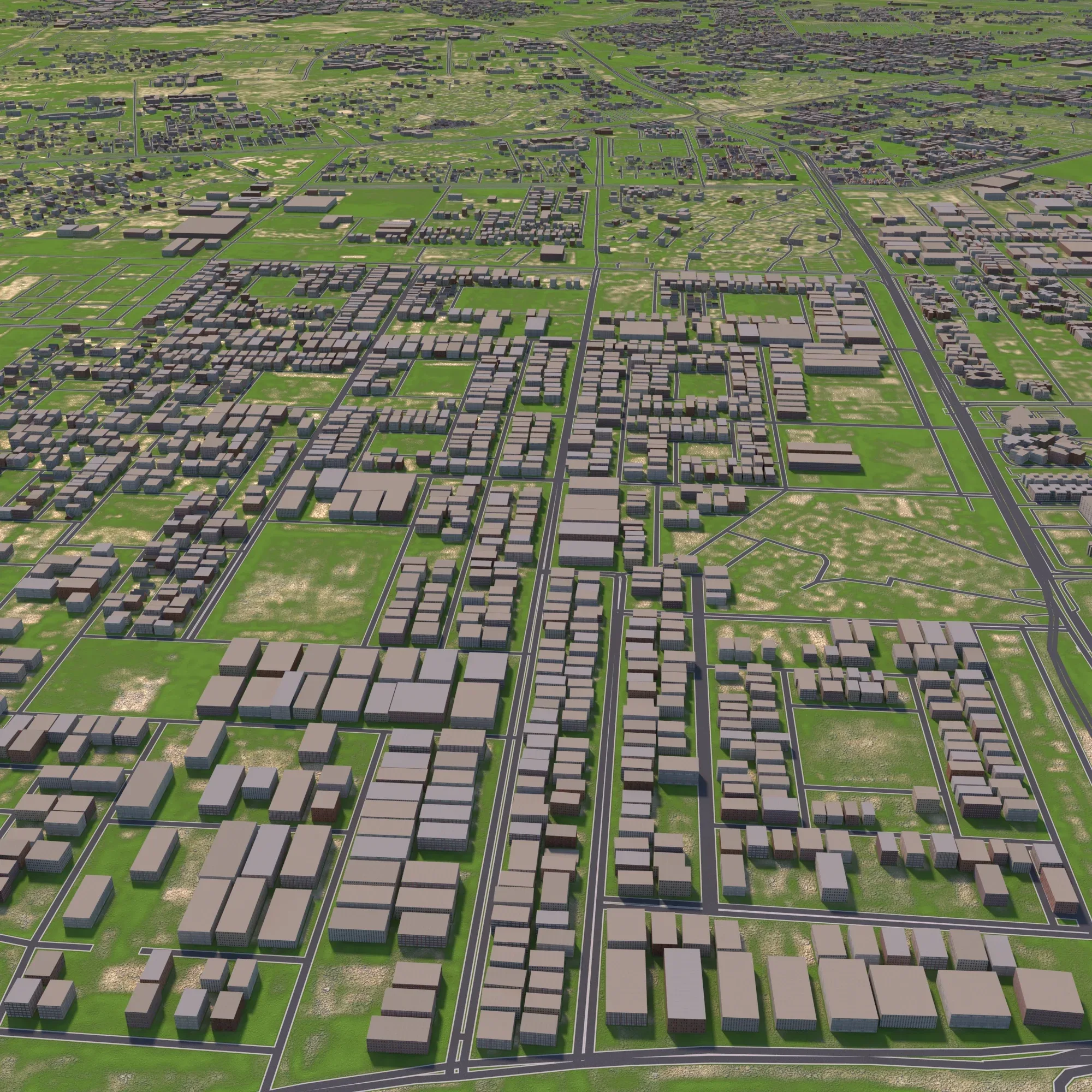
Ghaziabad (Hindustani pronunciation: is a city in the Indian state of Uttar Pradesh and a part of the NCR.It is the administrative headquarters of Ghaziabad district and is the largest city in western Uttar Pradesh, with a population of 1,729,000.[1] Ghaziabad Municipal Corporation is divided into 5 zones - City Zone, Kavi Nagar Zone, Vijay Nagar Zone, Mohan Nagar Zone and Vasundhara Zone.The Municipal Corporation comprises 100 wards.[1] Well connected by roads and railways, it is a major rail junction for North India.[4][5] It is sometimes referred to as the 'Saya of Uttar Pradesh' because it is close to New Delhi, on the main route into Uttar Pradesh.[6] Recent construction works have led to the city being described by a City Mayors Foundation survey as the second fastest-growing in the world.Situated in the Upper Gangetic Plains, the city has two major divisions separated by the Hindon River, namely Trans-Hindon on the west and Cis-Hindon on the east.
----------------------------------------------------------------------------
Info:
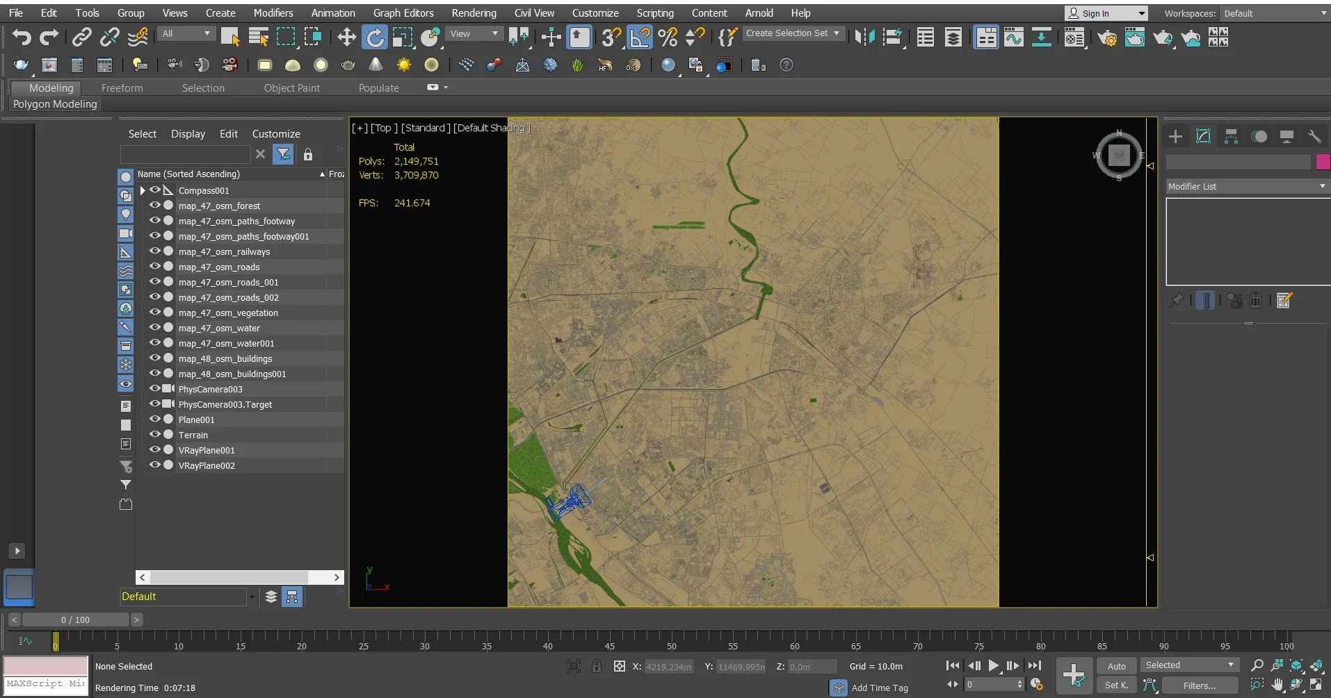
Rendered by 3dsmax 2015 with vary
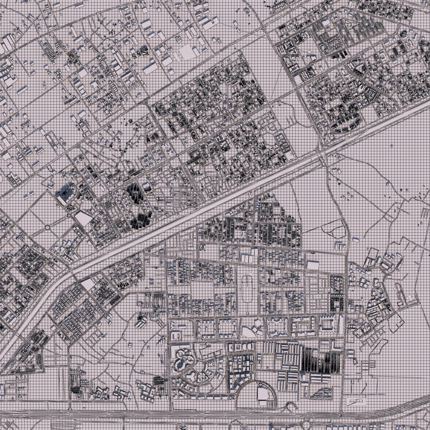
--Accurate 3D city model and its surrounding area based on GIS data Year 2021
--Ready to render
-- Render in standard settings
-- No Plugins used
-- Low Poly
-- Layers: Building, roads, routes, amenity, leisure, land use, natural, water, man-made, railway/train,etc.
-- Formats:, max, fbx and obj
Ghaziabad city India
Information about the city :
Ghaziabad (Hindustani pronunciation: is a city in the Indian state of Uttar Pradesh and a part of the NCR.It is the administrative headquarters of Ghaziabad district and is the largest city in western Uttar Pradesh, with a population of 1,729,000.[1] Ghaziabad Municipal Corporation is divided into 5 zones - City Zone, Kavi Nagar Zone, Vijay Nagar Zone, Mohan Nagar Zone and Vasundhara Zone.The Municipal Corporation comprises 100 wards.[1] Well connected by roads and railways, it is a major rail junction for North India.[4][5] It is sometimes referred to as the 'Saya of Uttar Pradesh' because it is close to New Delhi, on the main route into Uttar Pradesh.[6] Recent construction works have led to the city being described by a City Mayors Foundation survey as the second fastest-growing in the world.Situated in the Upper Gangetic Plains, the city has two major divisions separated by the Hindon River, namely Trans-Hindon on the west and Cis-Hindon on the east.
----------------------------------------------------------------------------
Info:
Rendered by 3dsmax 2015 with vary
--Accurate 3D city model and its surrounding area based on GIS data Year 2021
--Ready to render
-- Render in standard settings
-- No Plugins used
-- Low Poly
-- Layers: Building, roads, routes, amenity, leisure, land use, natural, water, man-made, railway/train,etc.
-- Formats:, max, fbx and obj